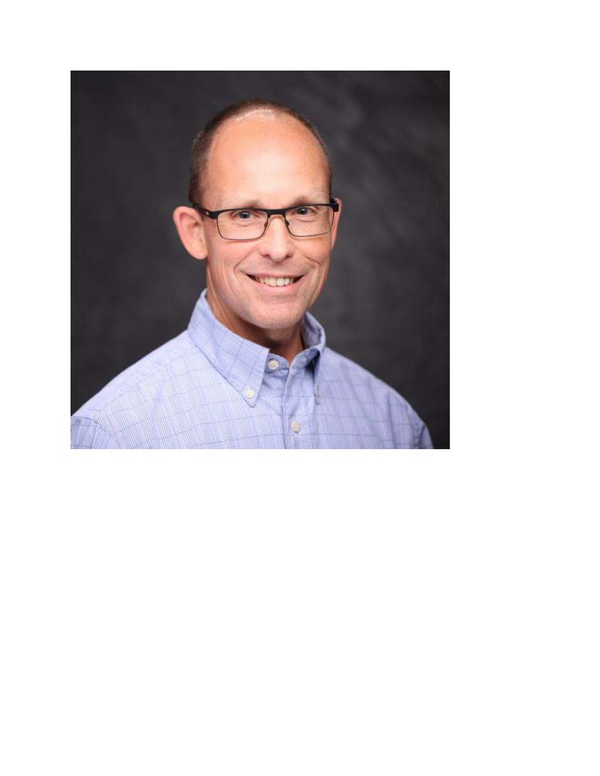
ISWS Seminar Series: Future of Flood Risk Studies: Harnessing Historical Wisdom and Technological Advancements
- Event Type
- Seminar/Symposium
- Sponsor
- Illinois State Water Survey
- Location
- "Prairie.RM.ISWS.201 - Illinois Room
- Date
- Jan 15, 2025 11:30 am - 1:30 pm
- Speaker
- Glenn Heistand
- Registration
- Registration
- Contact
- Glenn Heistand
- heistand@illinois.edu
- Phone
- +1 217 244 8856
- Views
- 57
- Originating Calendar
- Illinois State Water Survey events
Future of Flood Risk Studies: Harnessing Historical Wisdom and Technological Advancements
Glenn Heistand, Associate Research Scientist & Coordinated Hazard Assessment and Mapping Program (CHAMP) Section HeadIllinois State Water Survey
January 15, 2025, Wednesday, 11:30-1:30pm
Seminar will be held in ISWS Illinois Room 201
link for virtual participation:
Meeting ID: 275 159 830 831
Passcode: rC6aX6uz
Abstract
Over the past two decades, the Coordinated Hazard Assessment and Mapping Program (CHAMP) has been instrumental in advancing flood risk management in Illinois. This presentation will trace CHAMP's journey, highlighting key milestones and innovations that have shaped our understanding of floodplain mapping and analysis. By integrating historical insights with future technologies, CHAMP is poised to usher in a new era of flood science. This era will see risk analysis expanding beyond mere hazard identification, enabling more effective communication of mitigation strategies and opening new frontiers for scientific collaboration. We will explore the evolution of floodplain studies, focusing on how traditional approaches have been enhanced through the incorporation of Geographic Information Systems (GIS), advanced hydrologic modeling, high-resolution LiDAR, and increased computing capacity. These tools have not only improved the precision of flood modeling and mapping but have also facilitated community engagement and informed decision-making processes. Looking ahead, we envision a future where flood risk studies are further transformed by emerging technologies such as artificial intelligence, remote sensing, cloud-based computing, and the integration of new data sources. These advancements promise to revolutionize data integration, automate complex modeling workflows, enhance collaboration opportunities, and provide dynamic, real-time flood risk assessments.