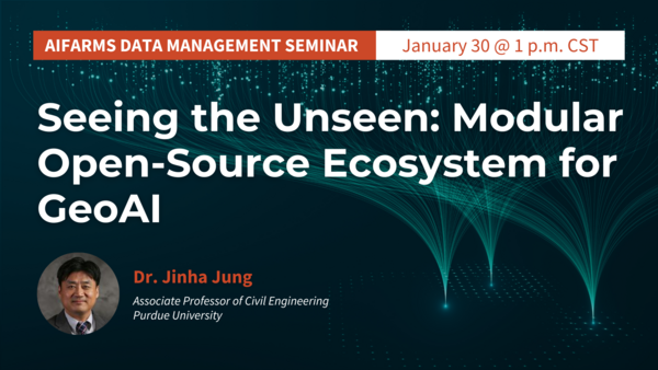
AIFARMS Seminar: Seeing the Unseen: Modular Open-Source Ecosystem for GeoAI

- Sponsor
- AIFARMS National AI Institute for Agriculture, Center for Digital Agriculture
- Speaker
- Jinha Jung, Associate Professor, Department of Civil Engineering at Purdue University
- Registration
- Registration required
- Contact
- AIFARMS Institute
- digitalag@illinois.edu
- Views
- 226
- Originating Calendar
- Center for Digital Agriculture Events
The AIFARMS Institute invites you to join us in person or via Zoom on January 30, 2025, for an exciting seminar titled "Seeing the Unseen: Modular Open-Source Ecosystem for GeoAI."
Speaker: Jinha Jung, Associate Professor, Department of Civil Engineering at Purdue University
Overview
Recent advancements in sensor technologies make it possible to collect fine spatial and high temporal resolution remote sensing data and automatically extract informative features in a high throughput mode. As researchers increasingly have access to tools to collect big data, such as Unmanned Aerial Vehicles (UAV) and Controlled Environment Phenotyping Facility (CEPF), there is a need for generating quantitative phenotypic from the collected geospatial data. While precision agriculture technology aims to protect our environment and produce enough food to feed a growing population, the massive volume of geospatial data generated by the research scientists and the lack of software packages customized for processing these data make it challenging to develop transdisciplinary research collaboration around this data.We will share our efforts to develop an open-source online platform for UAS HTP data management, i.e., Data to Science Engine (D2SE), to address the big data challenges. D2SE includes a containerized full-stack web application and a public central catalog. Users will be able to interact with the web application to upload and manage their data products (e.g., orthomosaics, digital surface models, and point clouds), collaborate with team members located anywhere, visualize data products with an interactive map, and publish their findings.
Uploaded data products will be automatically converted into cloud-native formats such as Cloud Optimized GeoTIFFs (COG) and Cloud Optimized Point Clouds (COPC). The interactive map provides a variety of symbology controls that can be used to alter the appearance of data products on the fly and a comparison tool for visually assessing the difference between data products collected at separate times from the same location. Owners of the data products will have permission controls for managing who can access their data and how it can be accessed (e.g., view only or ability to make changes). Published data products will be added to a public central catalog powered by the SpatioTemporal Asset Catalog (STAC) specification. The catalog will not store datasets but maintain searchable metadata for each data product, including an asset URL for accessing the cloud-optimized data product. No accounts will be required for using the public catalog; anyone will be able to perform searches constrained to time periods and geographic regions of their choice.
ℹ️ Free to attend | Registration required
